

Tree Inventory Software: Digital Records and Watering Plans
What a digital tree inventory should do, how to pick one, and how the inventory data turns into an actual watering route.
What a digital tree inventory should do, how to pick one, and how the inventory data turns into an actual watering route.
Fewer empty miles, more planning certainty. Why waste operations move off static routes, what to look for, and four kinds of software compared.
The old PTV Map&Guide desktop version is gone and the new one is a monthly subscription. Three alternatives, depending on whether you actually run trucks.

Map-based dispatch software for small businesses — what it does, who it is not for, and how it differs from a scheduler or a full TMS.

Cheap route optimization compared. Four route planners, four completely different billing models, and what each costs at 30, 100 and 200 stops a day.

AntsRoute is solid, EU-hosted and priced per vehicle. Here is what that costs at scale and which alternatives make sense.

"AI route optimization" is usually a label on math from the 1960s. Here is what is actually under the hood, and the questions that expose it.

How route optimization actually works, what the pricing models really cost you, and seven providers compared — with the questions to ask before buying.
Which route planning software fits a small operation? Seven tools compared on price, features and where each one is the wrong choice.
Why operations leave OptimoRoute, what the realistic alternatives are, and which one fits which kind of work.

Read how CarnEt Fleisch uses the xRouten route planner and mobile apps to save valuable time on daily planning and improve customer communication with automated tracking links.

What the law actually requires, where travel time starts and stops, and how to pick a system field crews will actually use.

KANOLD — a household name for winter services and grounds maintenance in Berlin — is known for quality and for leading the way in operational technology. With xRouten, KANOLD found the last piece of the puzzle for a fully digital winter service.
QGIS has no simple way to share a project. Felt closes that gap — here is how to connect the two and share a project by link.
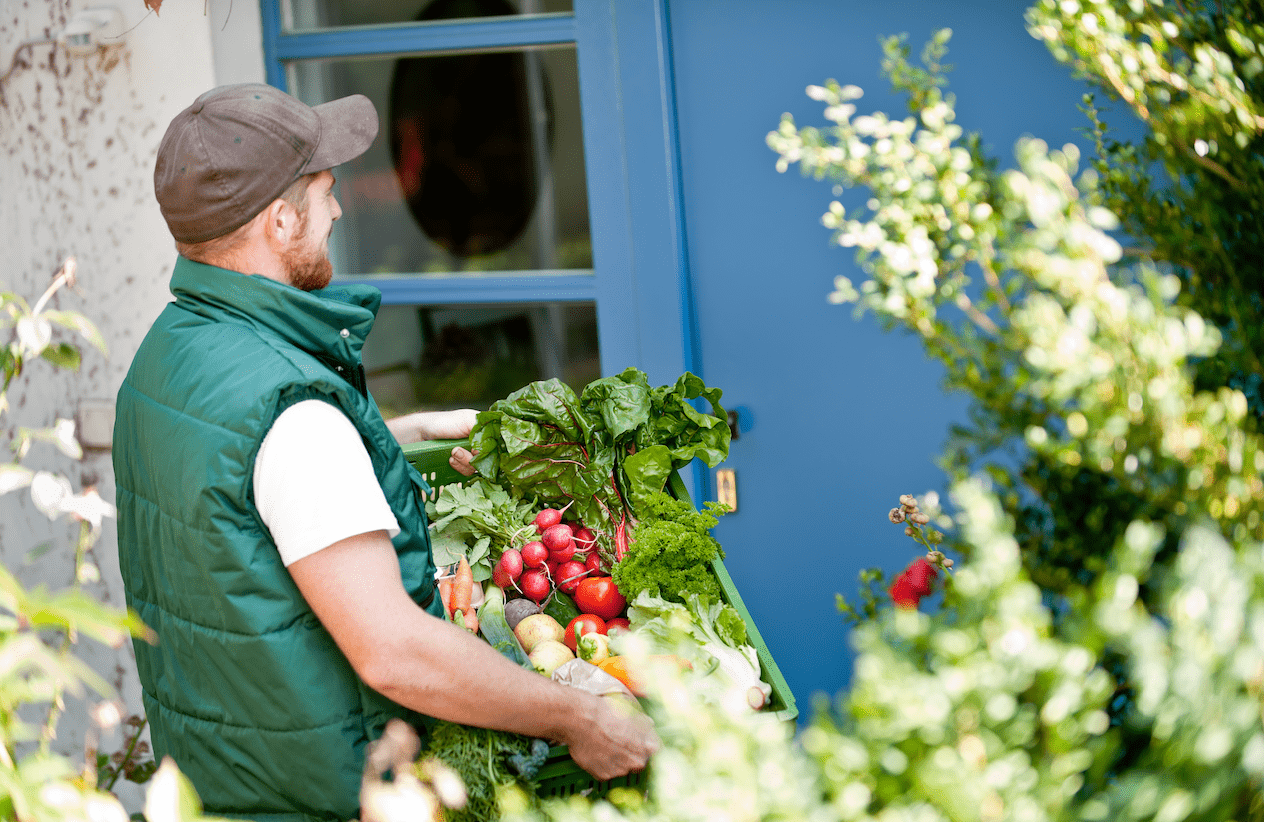
Read how Die Grüne Kiste uses the xRouten route planner and mobile apps to keep track of every route and save time each day.
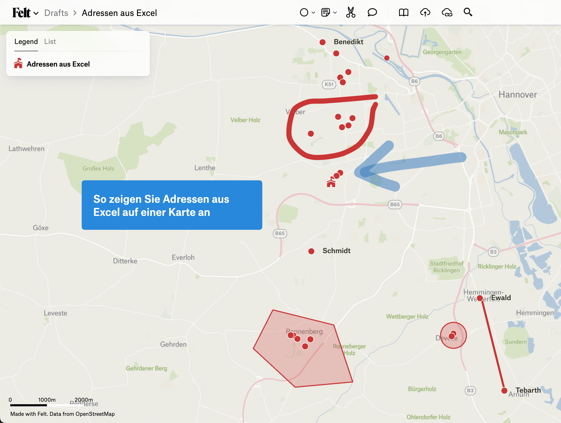
Three ways to get addresses out of a spreadsheet and onto a map — a link per row, Google My Maps, or Felt.
![[Video] How the town of Öhringen moved from paper maps to the tablet](/_next/image?url=https%3A%2F%2Fxrouten-cms.vercel.app%2Fapi%2Fmedia%2Ffile%2Foehr-pal.png&w=3840&q=90)
The municipal depot in Öhringen has a lot of routes to plan. Since the large paper maps were replaced by xRouten, planning and documentation have become far less stressful.

There is a lot to plan and deliver at MeinFrühstück24, especially at the weekend, when families all over Germany are looking forward to their baked goods.

VAAS uses xRouten to plan every route and supply senior citizens in the Wohlen region with hot meals every day. The service is so well received, and demand so high, that spreadsheets are no longer enough.
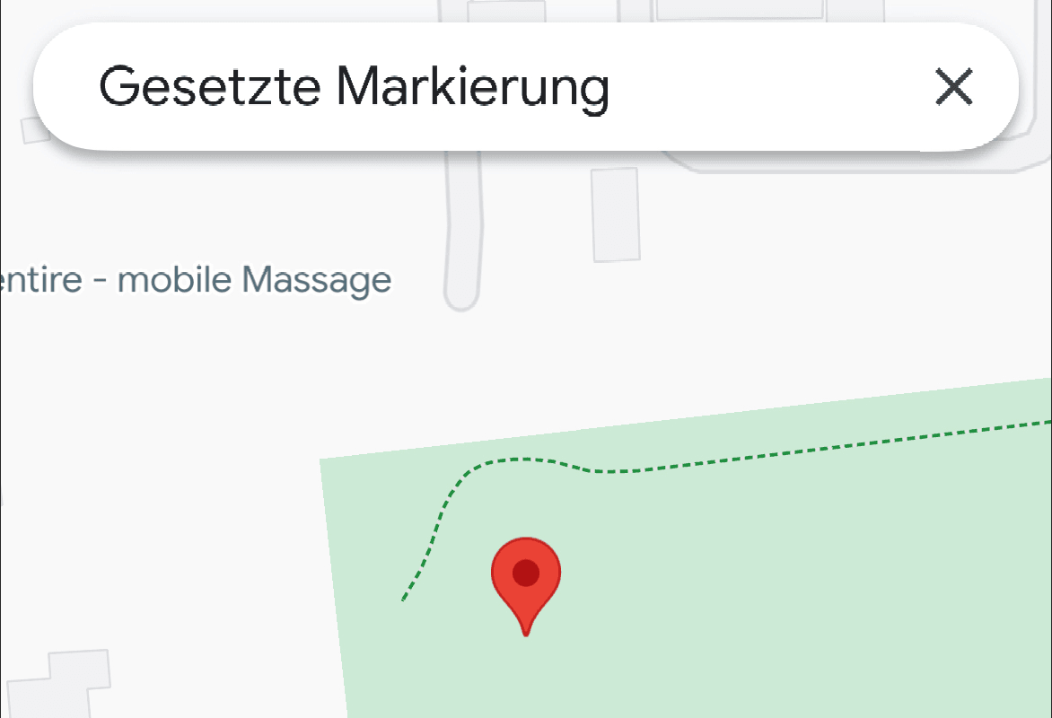
You need an exact spot, not just a street address? Here is how to get latitude and longitude out of Google Maps on your phone and on your computer.

Until recently, Grundstückspflege Müller GmbH handled winter service planning and documentation the classic way, with Excel and printed lists. Read how introducing xRouten now saves time and money.
Five things Google Maps does that make fieldwork easier — measuring, areas, multiple saved routes, location sharing and calendar links.
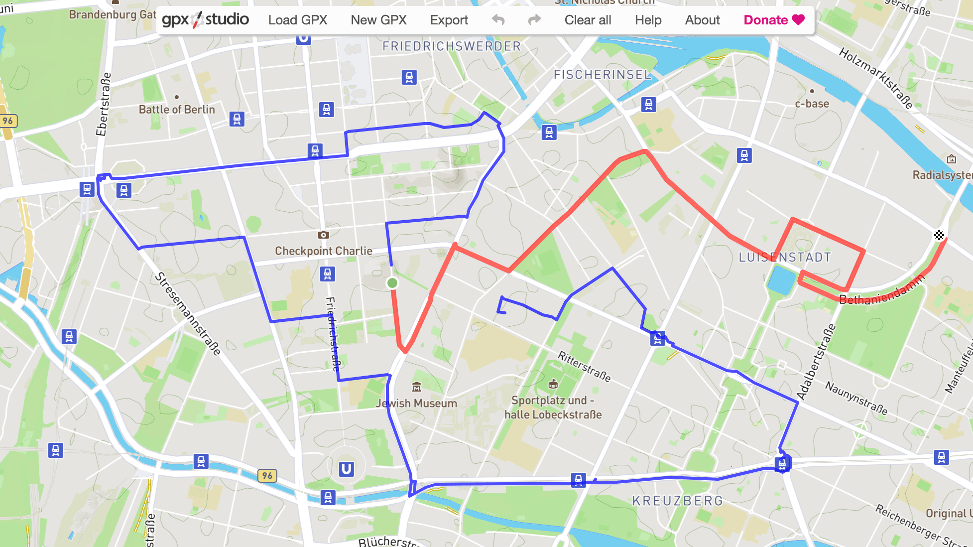
Merging GPX files and exporting them again is so easy with gpx.studio that you will not need another tool for it.
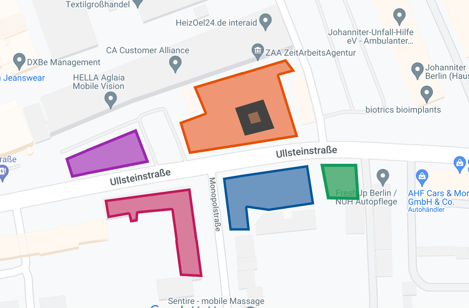
Google Maps measures more than the distance between two points. You can draw a shape and get its area — on the computer and on your phone.

Free route planners that also optimize the order of your stops — not just RouteXL. Eight tools, what each one costs you in stops, and where they stop.

Apple Maps handles routes with up to 15 stops. Here is how to add them on the iPhone and on a Mac — and what the app still will not do.
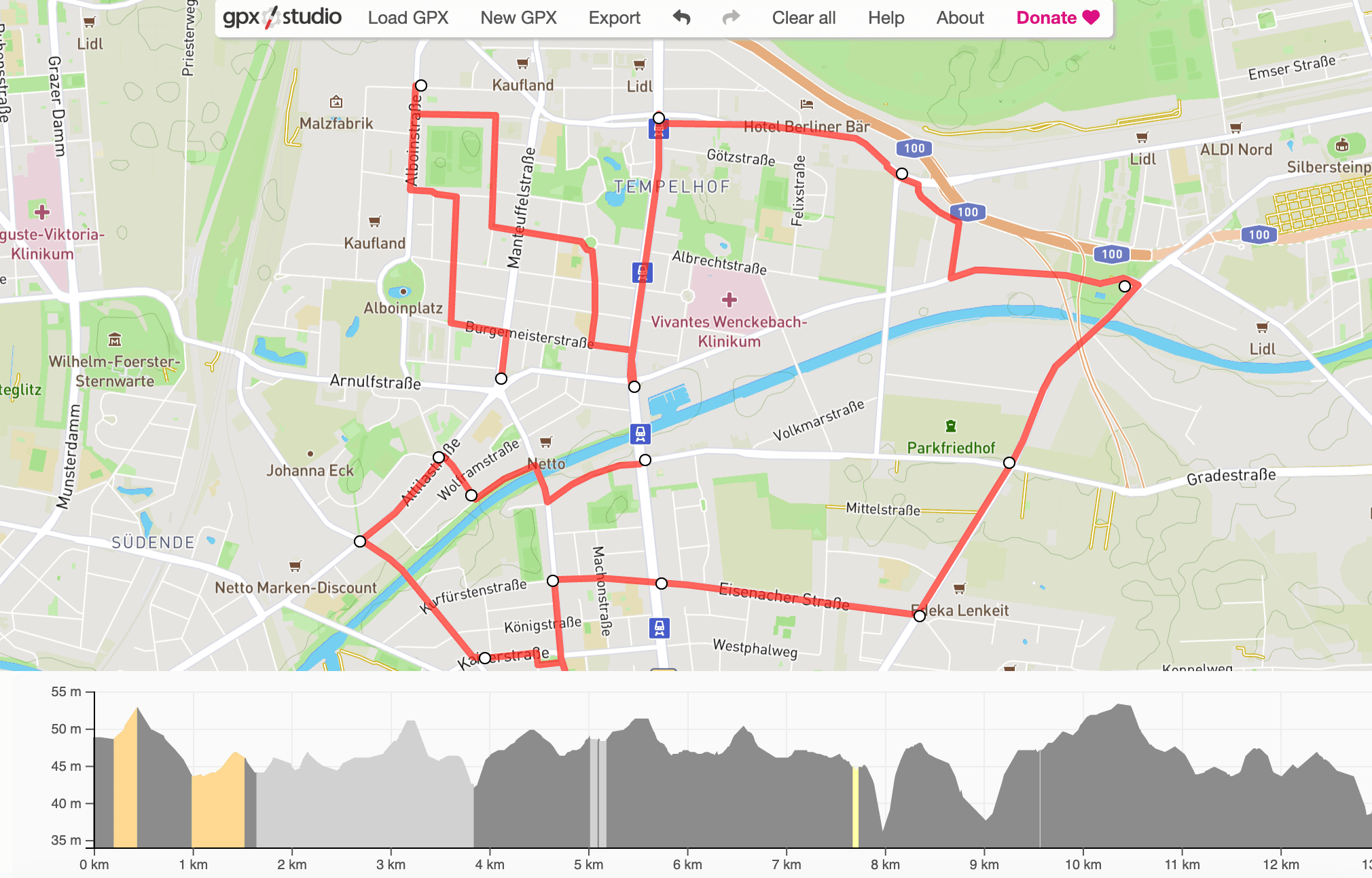
Google Maps will not open a GPX file directly. Google My Maps will — here is how to import one, edit it, and see it on your phone.
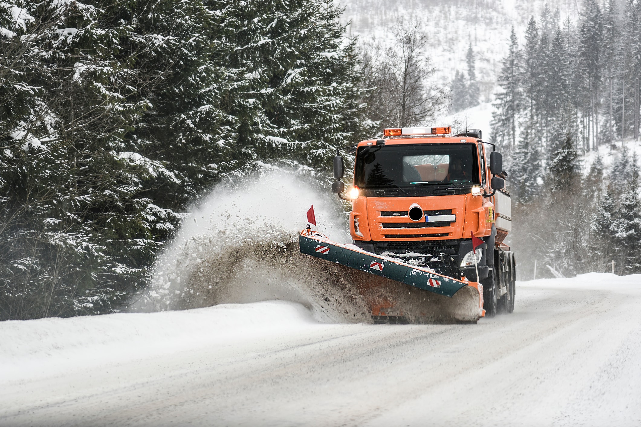
What belongs in a snow removal record, how long to keep it, and how to stop producing it by hand at four in the morning.
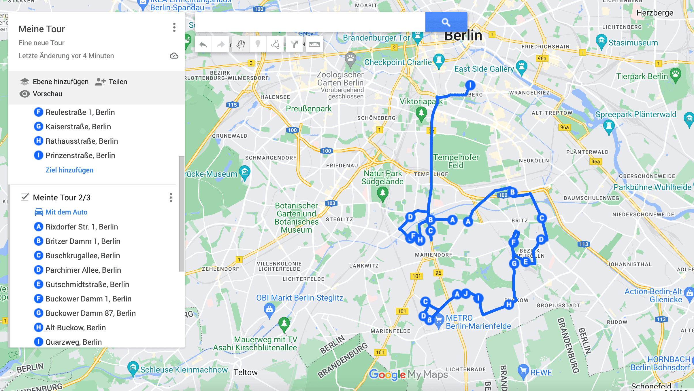
Google Maps stops at 10 stops. Google My Maps gets you past that for free — and here is where a free route planner runs out of road.
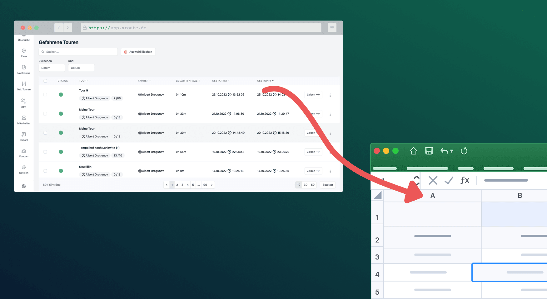
Spreadsheets are still the simplest way to track time. Here is how to get the accuracy of an app and keep the spreadsheet at the end of it.
![How to Convert UTM Coordinates to Lat/Long [Free Excel Sheet]](/_next/image?url=https%3A%2F%2Fxrouten-cms.vercel.app%2Fapi%2Fmedia%2Ffile%2Futm-koordinaten-umrechnen-955cf3.png&w=3840&q=90)
A free Excel sheet that turns UTM coordinates into latitude and longitude, so they work in Google Maps, a route planner, or anywhere else.

RouteXL is free up to 20 stops and very good at what it does. Here is where it stops, and what to move to when it does.
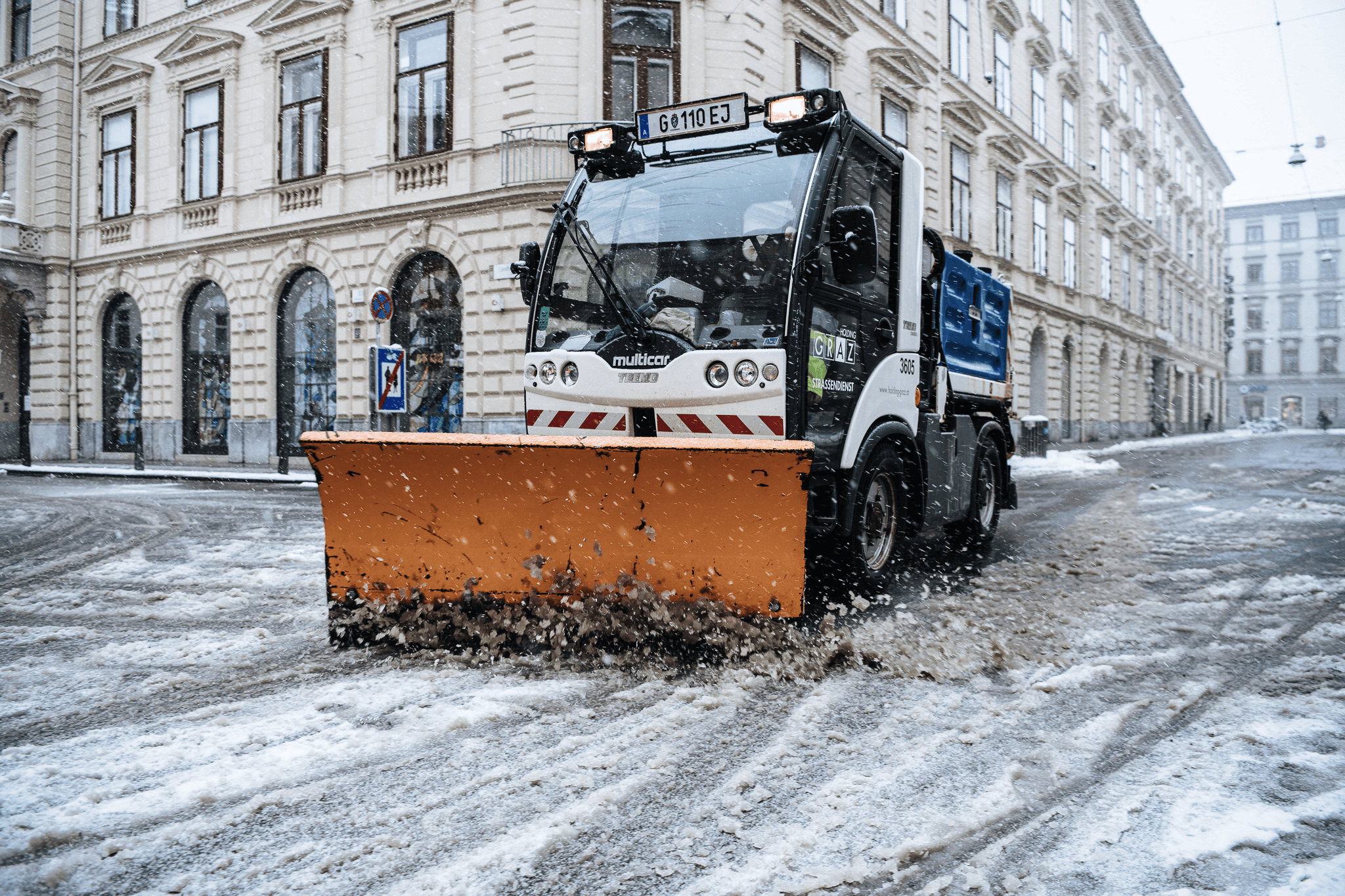
Snow removal routes run to a hundred sites or more, in the dark, against the clock. Here is what software changes about planning, driving and proving it.

Hardware trackers or a phone app? What each one gives you for tracking snow removal crews, and which fits which size of operation.
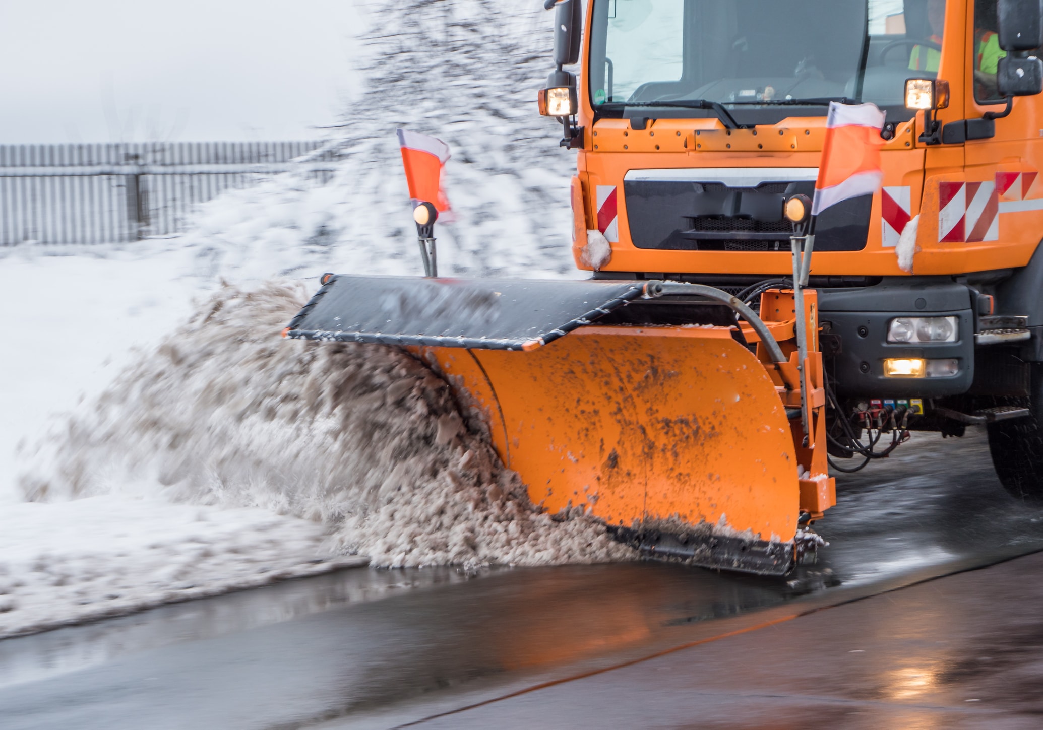
Every fall the same job comes around — rebuilding routes and assigning them to drivers. Paper map or software? What each one actually costs you.

Meals on Wheels routes run to 70 clients and change daily. What route planning software changes for the kitchen, the drivers and the people waiting.